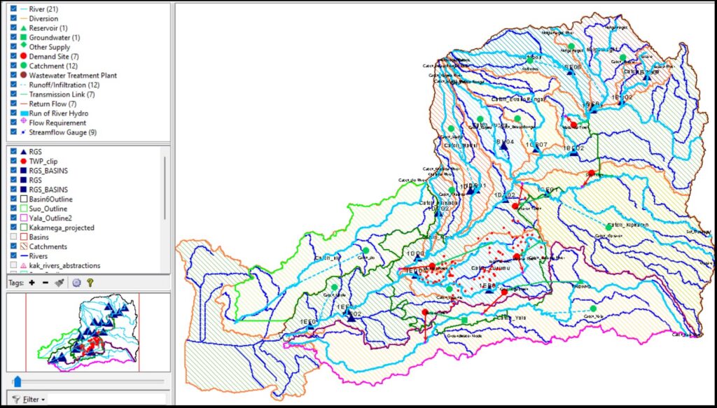
The objective of the project is to map out water resources and their potential in Sio basin, Nzoia basin and Yala basin currently and in the future based on growing population and human social and economic activities.
The program is to benefit the department of water for kakamega Bungoma, Vihiga Transnzoia and Busia counties. It involves use of GIS and remote sensing techniques to process satellite images for streams and rivers and development of databases for the respective meta data, collection of boreholes and springs locations using hand held GPS tools and displaying the same on maps for decision support purpose.
Need Expert Engineering Services?
Contact Avina Technologies Ltd today for expert water engineering, environment and energy solutions across Kenya.
Contact Us Today