GIS and Remote Sensing
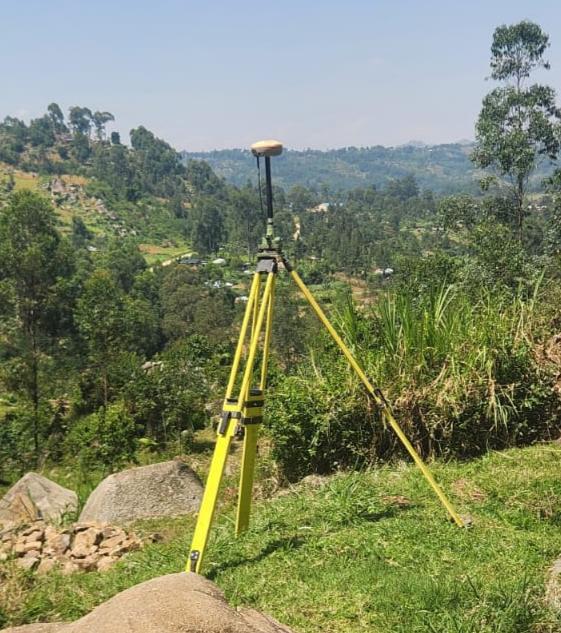
Avina Technologies Limited has specialized staff with high-end domain knowledge coupled with software and hardware capabilities to perform all GIS-related tasks. Our services range from field data collection to high detailed designs using GNSS surveys.
.jpeg)
Data Collection and Database Design
Avina Technologies has been involved in large scale spatial data collection on water sources across Kenya. This is done by mobilizing field teams with handheld GPS and mobile gadgets to collect data in the field. This data is uploaded electronically to the office for post processing, analysis and storage. Database expertise includes Microsoft Access, PostgreSQL, MySQL, CloudSQL, Firebase and MongoDB.
Geo-Statistical Analysis and Multi-Criteria Decision Analytics
Avina Technologies helps unlock the power of your spatial data through machine learning and statistics to achieve optimal solutions. The analysis allows for best scenario planning in environmental management, water resource monitoring, engineering design and agricultural development projects.
GIS Institutionalization and Training
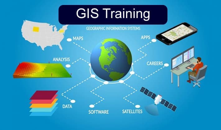
Avina Technologies has managed to instill the discipline of GIS implementation in various institutions to help in the management of natural resources. We offer institutional GIS trainings with follow-up on implementation and maintenance.
Data Presentation and Cartography
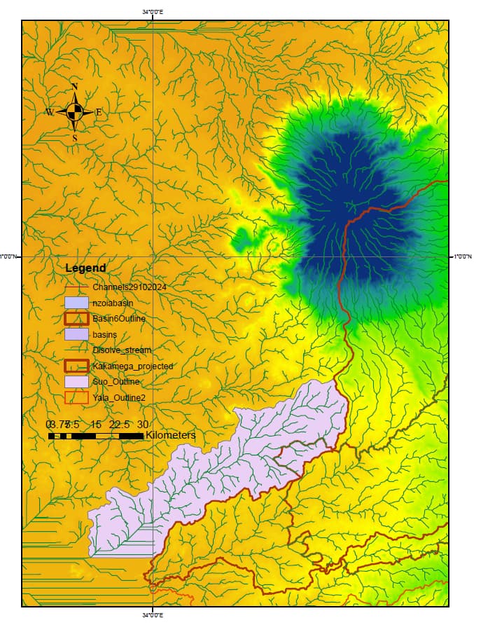
Avina Technologies has specialized expertise in cartographic designs and spatial data presentation ranging from small size paper maps, large format maps and web maps according to client needs and specifications.